slater's mill, slater road
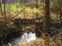 Wheel pit
Waterway: Grover Brook
Water power: Either an overshot or breastshot
Mill type: Saw and grist mill
*Modified and updated 10/14/14
Water power: Either an overshot or breastshot
Mill type: Saw and grist mill
*Modified and updated 10/14/14
History – Little history regarding dates of construction and years of operation was found for Slater’s Mill except from a previous land owner, Steve Neborsky, who claimed it to have been a saw mill operating in the 1800s. Other brief references found indicated it was a saw mill and perhaps a grist mill.
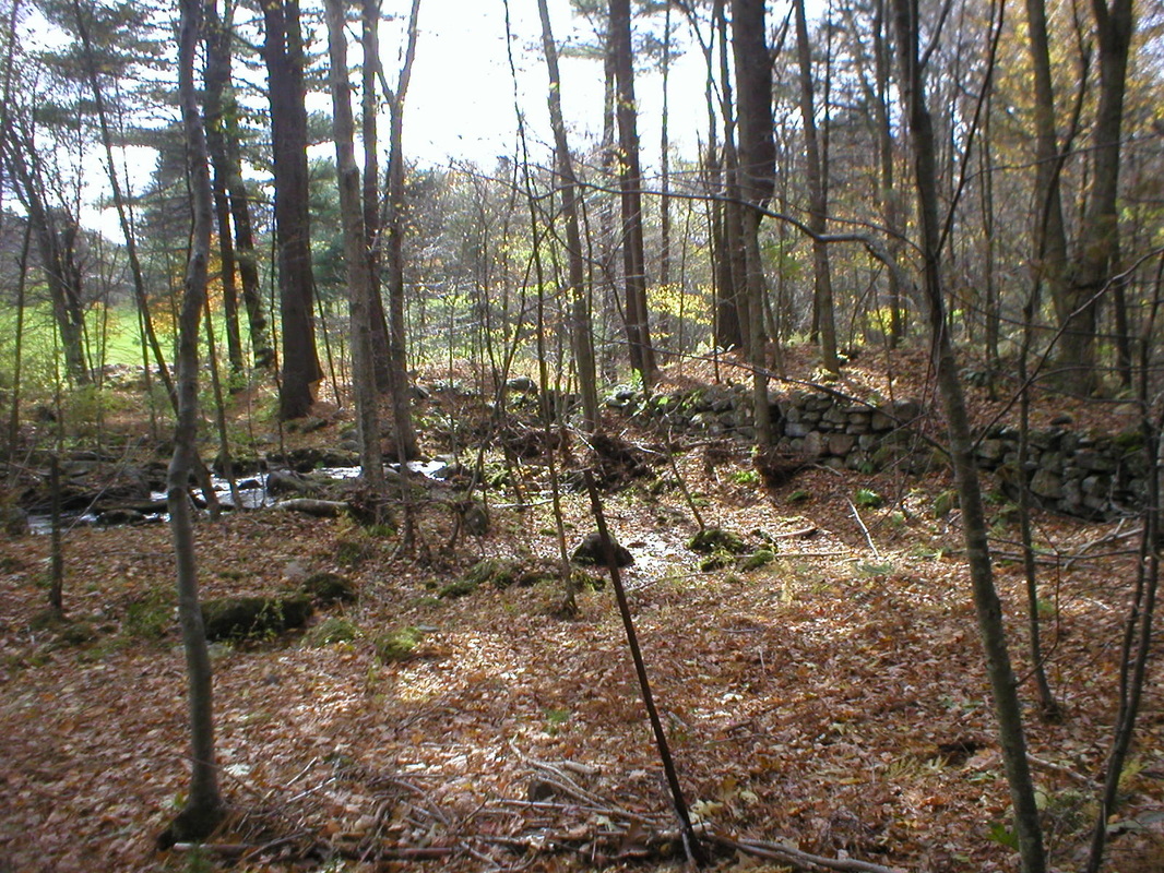
Site Characteristics: Slater’s Mill was located on the northerly side of Slater Road on the lower reaches of Grover Brook before it empties into Charter Marsh and the Skungamaug River. This is an on-stream stone dam that has been breached, but remains in reasonably good condition. It is about 325 feet long, six to seven feet high with a stone sluiceway about eight feet wide and six feet deep on the south side. An emergency spillway is located on the northerly side of the dam. Although the dam has been breached, the dam and the wheel pit and mill remnants are in reasonably good condition.
The wheel pit which most likely served as a foundation for a small mill building remains is relatively stable condition. Through site inspection either an overshot or breastshot could have provided power, but an overshot water wheel was the most likely power source. Site remnants are indicative of a large mill operation.
Additional Sources of Information: “Lost Mill Sites in Tolland, Connecticut,” 2013, by Richard N. Symonds, Jr.
Slater’s Mill Site
Water wheel pit of Slater’s Mill. Photo by the author.
|
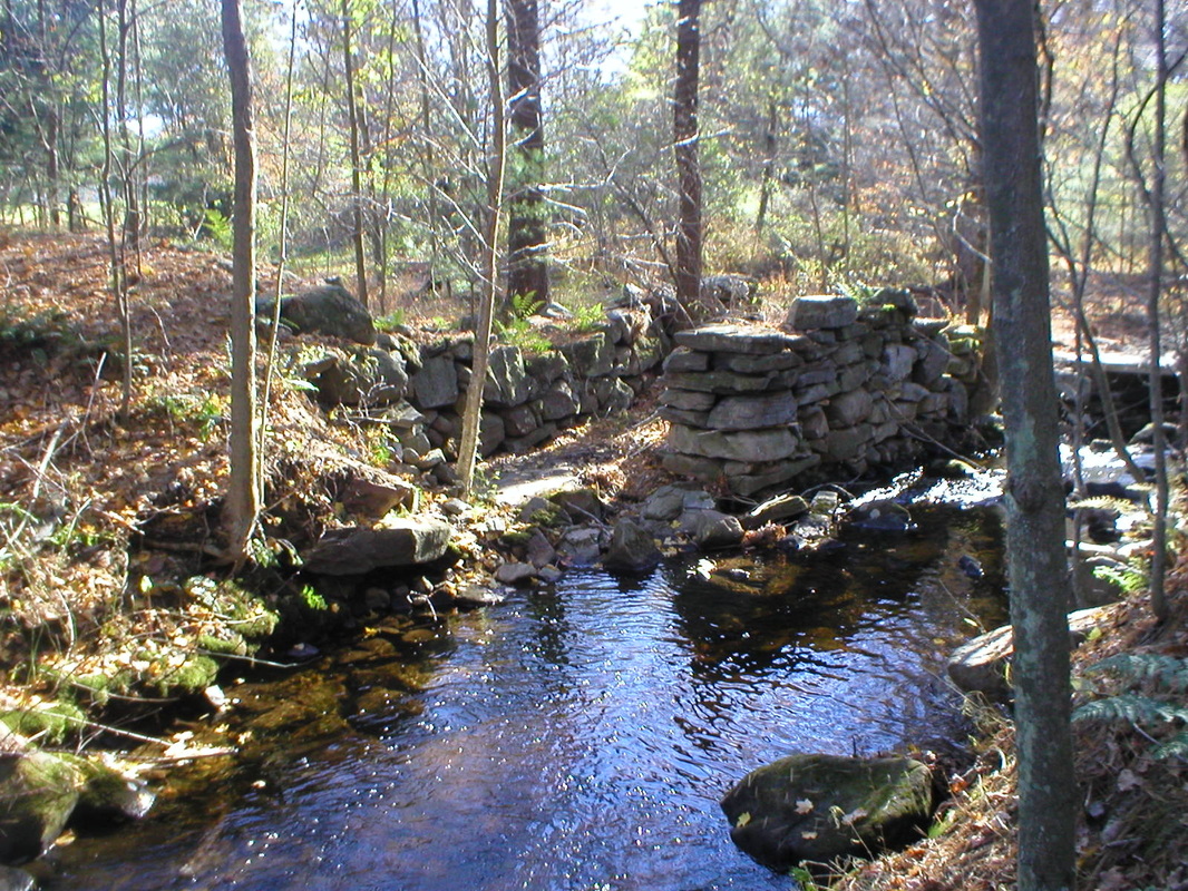
Dam at Slater’s Mill
View of Slater’s dam looking downstream. Breaching of the dam shown in the middle of the picture. The water wheel pit is just beyond and adjacent to the breaching. Photo by the author
|
