brook's mill, Fenton and Stone House Roads
Mill type: Saw mill Water power: Turbine
Waterway: Roaring Brook
History – Little history on Brook’s mill could be located. Brook’s was known to have a saw mill and he manufactured wood products at his mill. He was famous for his patented reversible road scraper.
Site Characteristics: The mill was located just northerly of and upstream of the junction of Stone House Road and Fenton River Road at the base of a deep cut. An east-west oriented on-stream dam about 250 long provided the power source. A turbine was used to power the mill. The dam has been fully breached on the westerly side of the dam in the location of the natural stream bed. The major breaching of the dam was in 1938 with addition destruction occurring over the years.
The mill site, located on a popular fishing stream, is on property owned by the State Department of Energy and Environmental Protection so is accessible for viewing by the general public.
Additional Sources of Information: Stafford Historical Society
Reversible Road Scraper
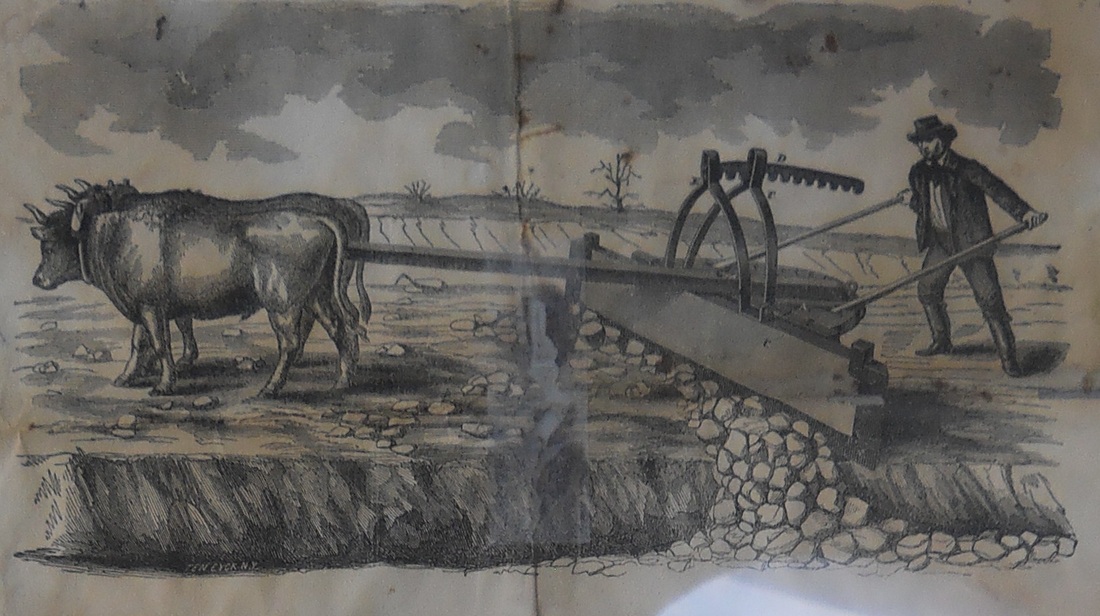
Photo courtesy of the Stafford Historical Society
|
brook's dam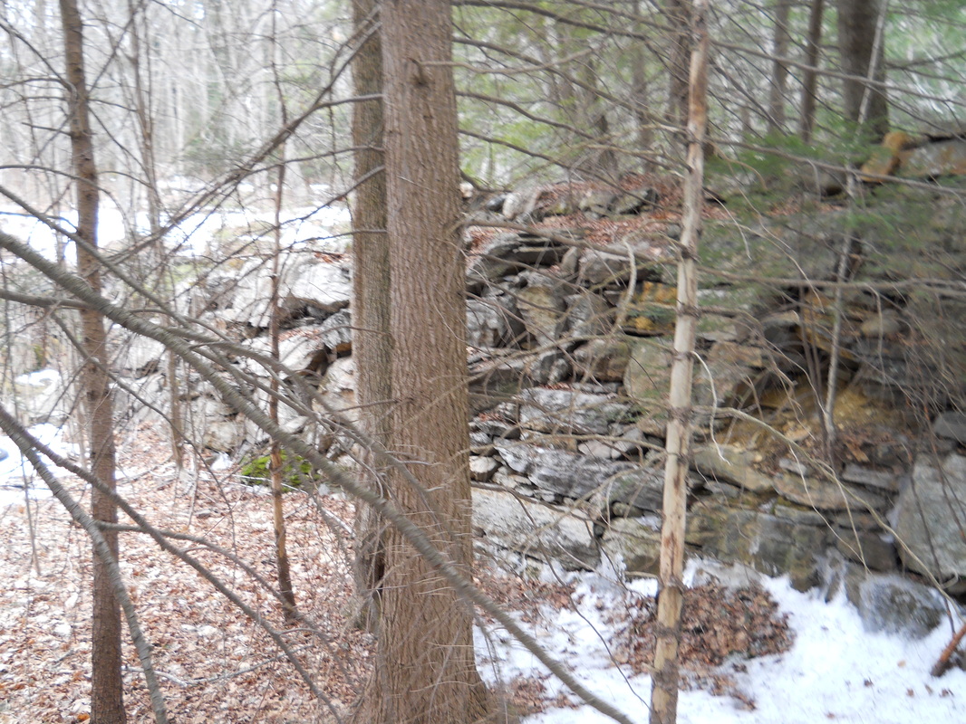
Dam remnants with breaching to the left or on the westerly side of the dam. Photo by the Author
|
