grant's mill, intersection of grant hill and gehring road ext.
 Dam, pond, breaching, and mill site
Waterway: Metcalf Brook
Water power: Overshot wheel
Mill type: Fulling mill
Additional Purposes: Source of ice, fishing, and swimming
Water power: Overshot wheel
Mill type: Fulling mill
Additional Purposes: Source of ice, fishing, and swimming
History: Constructed circa 1760, it was one of Tolland’s first
fulling mills. The site was used by John Bliss, a dyer and cloth finisher until
approximately 1820. It had a variety of purposes over the years including use
as a popular fishing spot in later years. One of the early and continuing uses
was for the supply of ice.
Site Characteristics: The mill had an overshot water wheel for power which was located on the north side of a stone dam oriented in a north south direction. The dam was breached in 1938 and then again in1955 with the most recent breaching occurring sometime after 1984. Little evidence of the pond or the mill remains today due to the previous breaching of the dam. The middle and southern sections of the dam remain in somewhat deteriorated condition. The remnants of the old ice house which were still visible some 50 to 60 years ago cannot be detected today.
Additional Sources of Information: “Lost Mill Sites in Tolland, Connecticut,” 2013, by Richard N. Symonds, Jr.
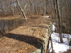
Mill dam with breaching to the right
|
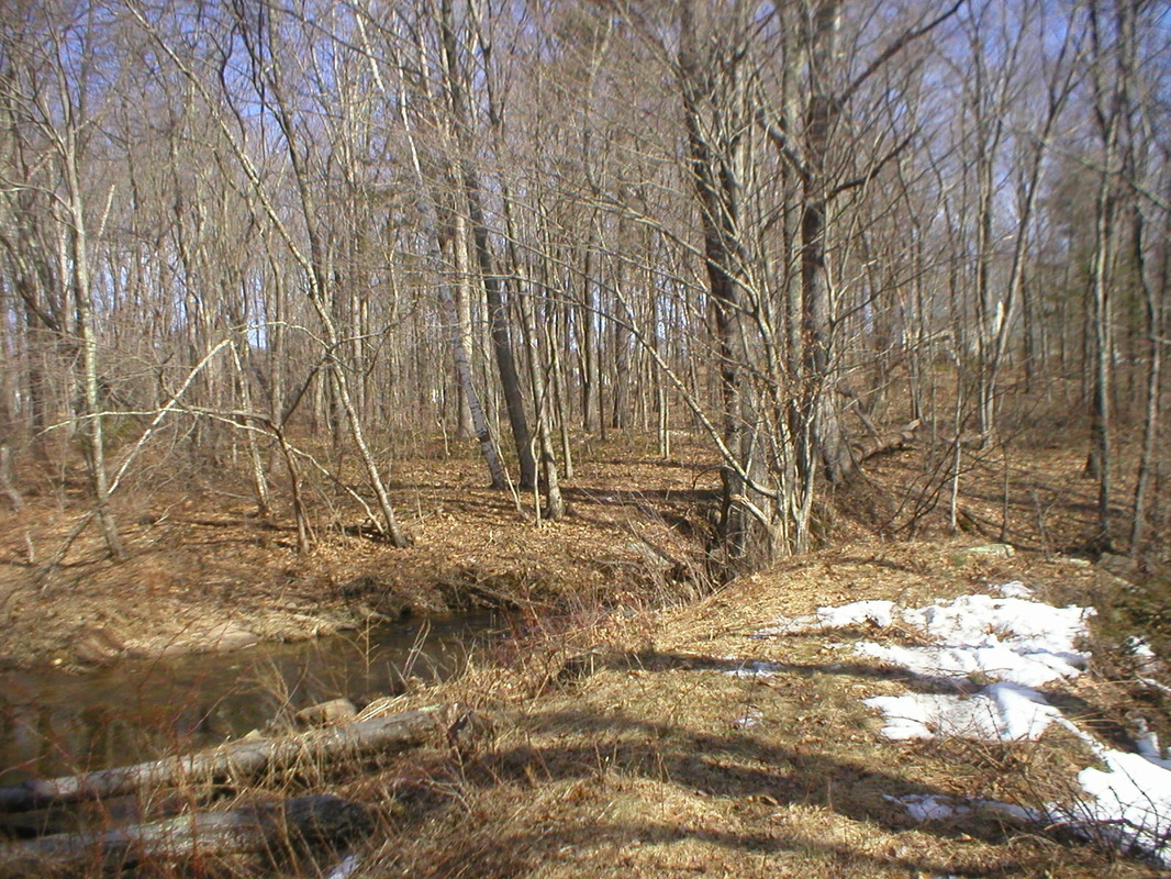
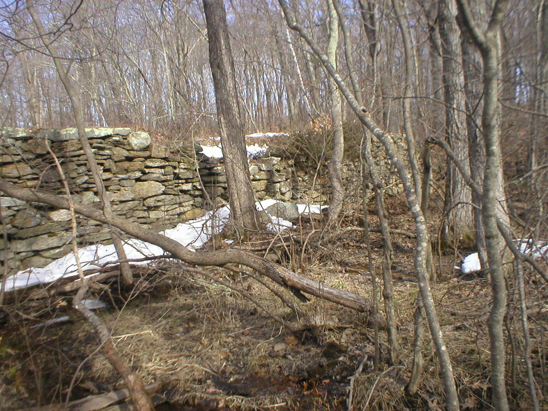
Dam, breaching, and mill site
|
