mill on ruby brook, turnpike road at turnpike road ext.
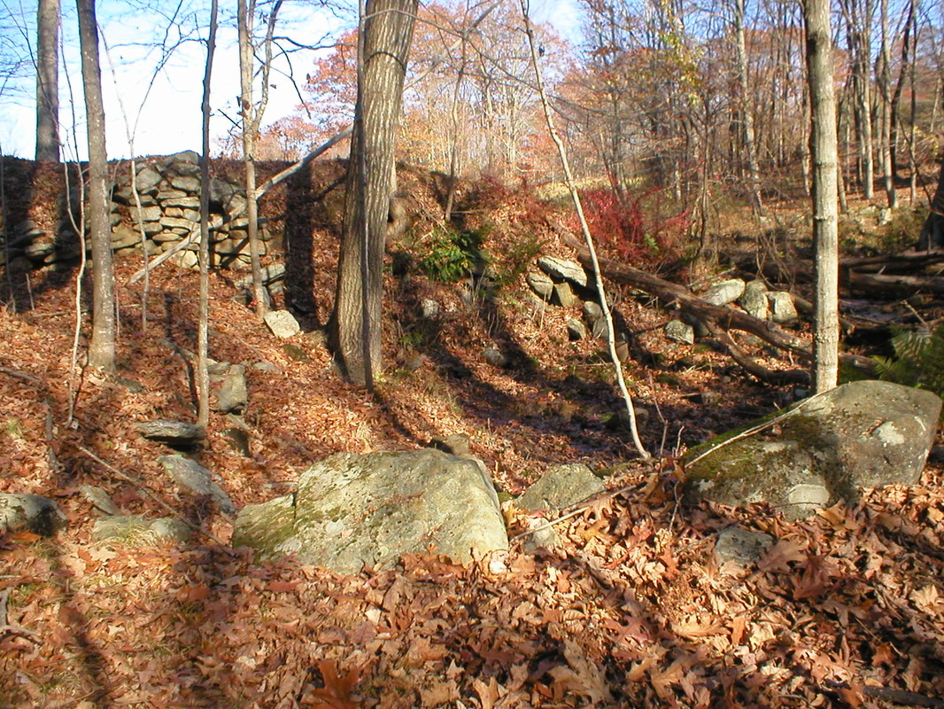
 Dam with breaching to the right
Waterway: Ruby Brook
Water power: Overshot wheel
Mill type: Machining
Water power: Overshot wheel
Mill type: Machining
History: Little information could be found for this site except for what the site itself revealed. Local interviews indicated that iron axes may have been made at the site as both old ax heads and iron spoil was found there. At this writing, additional information has been located. It will be added when verified.
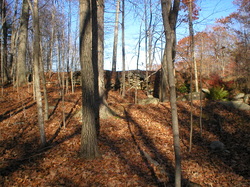
Site Characteristics: The site is located on the upper reaches of Ruby Brook within 300 feet from the point where Turnpike Road Extension crosses the brook. The dam has been heavily breached on the southerly side. Even with breaching, the remnants of the dam still form a lake of about 11 to 12 acres in size. The dam when in use formed a lake of about 55 acres in size. Even though the lake had a relatively small drainage area, just one foot or 55 plus acre feet of water in storage could support a good size mill. The remnants of two building sites, one of which was located so as be able to utilize a standard water wheel, were located at the dam site. There was inadequate information to determine type of water power, although an overshot wheel could function easily at the site.
Additional Sources of Information: Upcoming book on Willington’s Lost Mill Sites
Dam and mill site
|
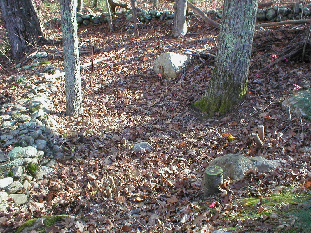
Mill site remnants - East side of the brook
|
